Down the Navvies' Road to Flåm
Cycle down the Flåm valley from mountain to fjord, and take the Flåm Railway back up.
Take the trip in PinPoint World
Find the trip under Plan in the app, and stamp each stop when you are there. Free, and you can start without an account.
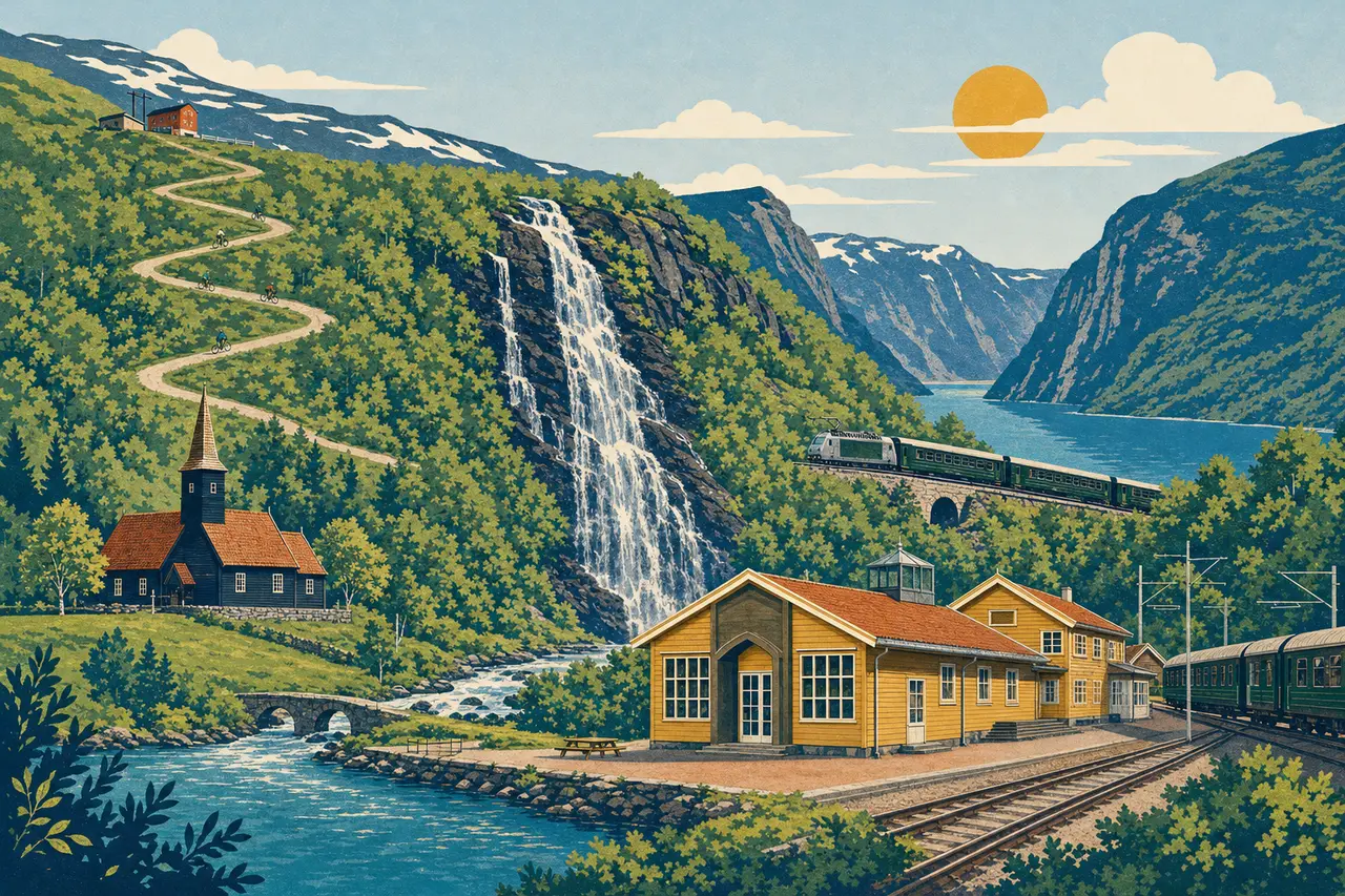
Rallarvegen, the Navvies' Road, was built as a construction road for the Bergen Line, and the stretch from Myrdal to Flåm is one of the best-known bike rides in Norway. From Myrdal station the road drops down the steep hairpins of Myrdalssvingane and follows the river through the Flåm valley, 865 metres down to the fjord. On the way you pass Flåm Church from 1670, and from Brekkefossen you look out over Flåm and the fjord. In Flåm, the Flåm Railway Museum tells how the line that takes you back up to Myrdal was built.
The stops
- 1
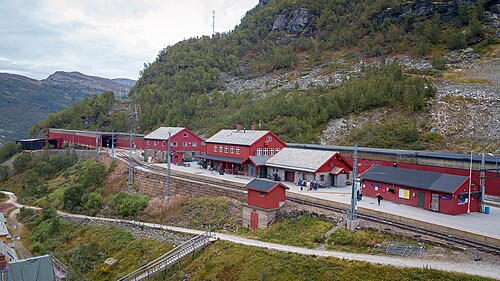
Myrdal station
The station 867 metres above sea level, where the Flåm Railway starts and Rallarvegen heads down into the valley.
- 2
Flåm kyrkje
A small wooden church from 1670 down in the valley, open in summer.
- 3
Brekkefossen
Leave your bike and climb about 580 stone steps to the waterfall, with a view over Flåm and the fjord.
- 4
Flåmsbanamuseet
A free museum in the old station building about how the steep railway was built.
About the trip
- Where
- Flåm
- Getting around
- By bike
- Time
- 3 h 30 min
- Distance
- 20 km
- Stops
- 4
- Season
- July–September
- Themes
- Nature, Views, History
Practical
- Start
- Myrdal station on the Bergen Line. In summer you can rent a bike at the station and return it in Flåm.
- Finish
- Flåm station, with the Flåm Railway back up to Myrdal.
- Toilets
- At Myrdal station, by Flåm Church and in the centre of Flåm.
- Accessibility
- About 20 km and 865 metres downhill, partly on gravel. The hairpins at the top are steep and narrow, so walk your bike if you are unsure. Child seats and bike trailers are not allowed from Myrdal. Steep stone steps lead up to Brekkefossen.